
Walk a Hillsborough Street Address
A sound street directory search begins with one valid address, not a broad list of names. The Hillsborough County Property Appraiser, or HCPA, connects that address to a folio, parcel number, legal description, owner, and tax mailing address. A parcel is the mapped unit of land used in tax records. The situs address is the physical location of that land, while the mailing address is where the tax notice goes. They may be different. Neither field, by itself, proves who lives there.
After locating the parcel, move through the sources in an order that preserves the address link. Each source answers a narrower question. The result is a street-by-street record trail that distinguishes owners, registered voters, project contacts, and historically printed occupants.
- Enter the address or street fragment in HCPA Property Search. Save the folio, situs, legal description, owner, and mailing address.
- Open the HCPA GIS map. Zoom to the street segment and click each parcel polygon rather than assuming which lot belongs to a number.
- Use a lawful Supervisor of Elections voter-file download or request to filter public residence entries by street. The individual verifier is not an open street browser.
- Take sale instrument numbers into the Clerk's Official Records index. Read deed images and keep the legal description constant through the chain.
- For earlier occupants, consult the library's Polk and criss-cross directories by year, then check census, obituary, and map evidence.
This order matters for condominiums and apartments. Unit folios can stack inside one building footprint, while a large apartment complex may appear as one parcel owned by an entity. The property card cannot turn either case into a household roster.
Search Hillsborough Streets in HCPA
The free HCPA Property Search is the main address-to-owner route. A full address is useful, but a street fragment can reveal candidates when a suffix or direction is uncertain. Results can lead to an owner and co-owner, tax mailing address, situs, folio, parcel number, exemptions, values, legal description, and sale history. Homestead status may support owner occupancy, but it does not identify everyone in the home.
| Search field | Input | Best use | Caution |
|---|---|---|---|
| Folio | County short identifier | Return to one parcel | Copy it exactly |
| Parcel Number | Formatted land identifier | Match mapped land | Not an address |
| Owner | Surname or entity | Find a party's parcels | Owner may not occupy |
| Address | Number or street fragment | Browse address candidates | Retain old forms |
The captured landing page shows where Hillsborough County begins its public property search. Open the live HCPA source before relying on a saved screen, because parcel and sale facts change.
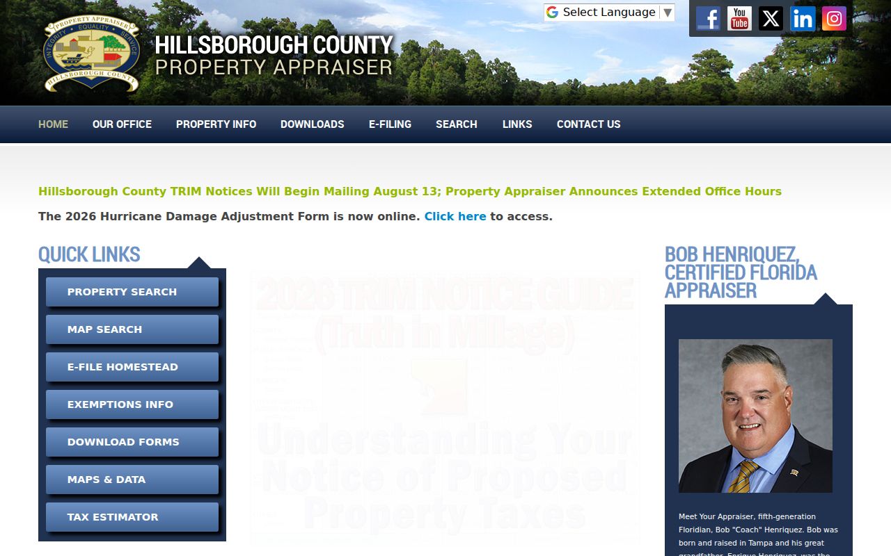
The current parcel card supplies the identifiers needed for the map, deed index, tax search, and permits. Record situs and mailing addresses separately.
HCPA also publishes free countywide data downloads for parcels, sales, roads, subdivisions, easements, and historic layers. Those dated files are useful when a street has too many parcels to inspect one at a time or when the work must be repeated later. Save the download date, keep the folio as the join field, and filter a copy rather than altering the source file. A street-name filter still needs review because directional prefixes, suffixes, unit labels, and old road names may split one corridor into several text forms. The interactive card remains the best place to verify a candidate parcel after filtering.
Map Hillsborough Street Parcels
The HCPA GIS Web Map turns one found address into a defensible street browse. Accept its disclaimer, search by address, select the parcel, and use Identify to open its detail. Pan along the block after parcel outlines and labels become clear. Controls include owner, address, folio, and parcel searches plus Base Maps, Layers, Sales, Identify, measure, and print.
Parcel, subdivision, aerial, flood, zoning, and district layers add context, but GIS is not a survey or title opinion. Roads, common areas, public land, and multi-parcel condominiums need care. A nearby sale is market context, not proof about a resident. Check the current GIS viewer for live boundaries and cards.
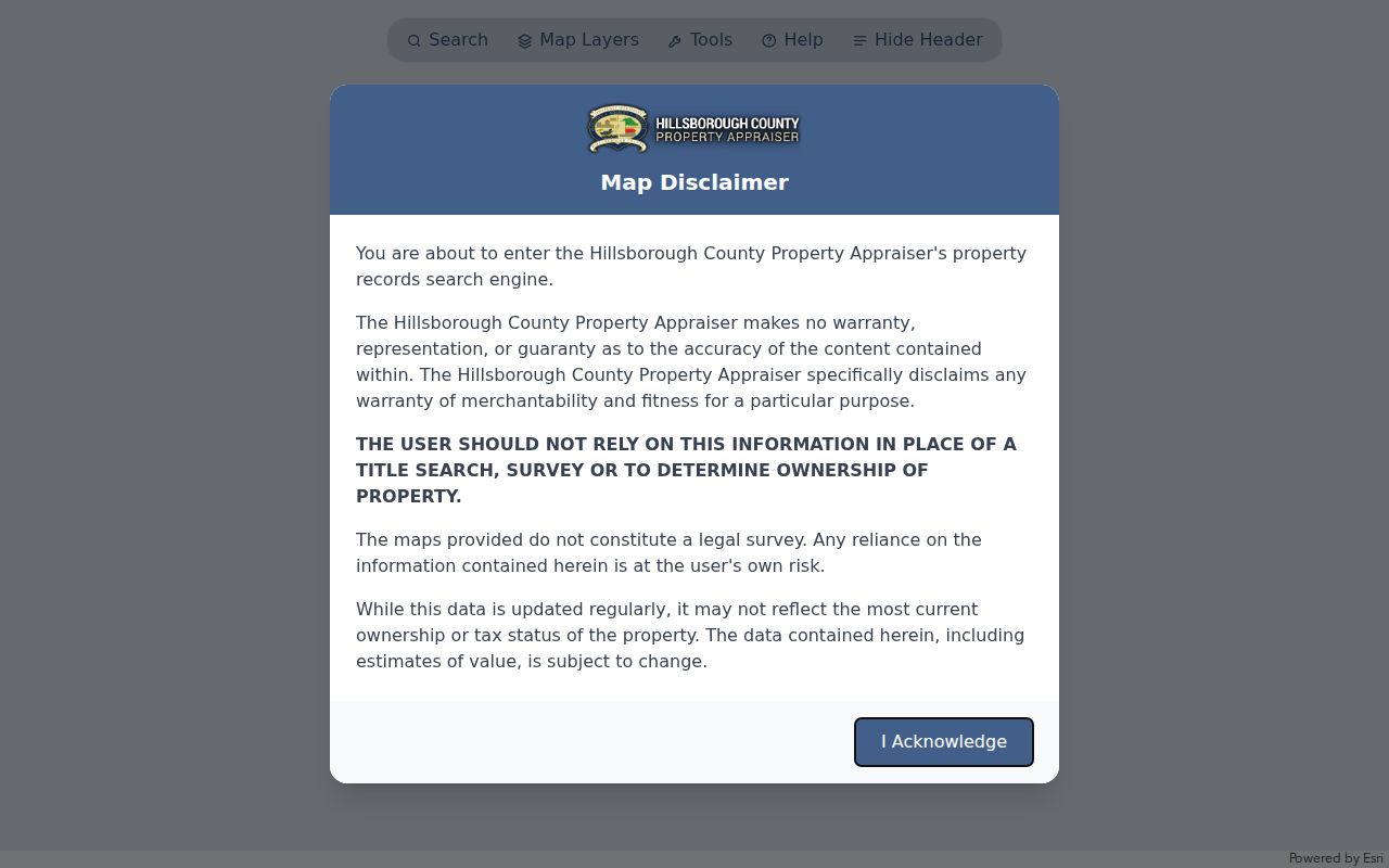
Clicking each polygon is safer than reading a visual label alone. Save the folio and situs from every selected parcel before moving on.
For a complete block segment, begin at a cross street and work parcel by parcel to the next cross street. Note exempt or public parcels, roads, common areas, and vacant land rather than skipping them, since a gap in the list can otherwise look like a missed address. The Sales tool can add transfer context, while aerial and subdivision layers help explain why several folios occupy one footprint. None of those layers establishes a household. The parcel detail, deed image, and other dated records must supply the evidence attached to each lot.
Hillsborough Address Terms Decoded
Several terms recur in a Hillsborough County street directory search. Keeping them distinct prevents a mailing contact, mapped lot, or subdivision reference from being mistaken for an occupant.
- Parcel
- A mapped unit of assessed land. One parcel may contain several units.
- Situs address
- The physical parcel location, separate from the tax mailing address.
- Plat
- A recorded map dividing land into lots, blocks, streets, and easements.
- Criss-cross directory
- A directory section arranged by street and house number instead of surname.
The legal description is the stable key for deed work. Street labels can change, while lot and block language helps prove that records concern the same land.
Hillsborough Records Indexed by Address
No single record makes a complete street directory. Hillsborough County sources overlap, and each has a different keeper, browse method, and limit. The strongest result keeps those roles separate.
| Record Set | Keeper | What It Shows | Access |
|---|---|---|---|
| Property roll | HCPA | Owner, mailing and situs addresses, folio, exemptions | Free portal and downloads |
| GIS parcel map | HCPA | Adjacent parcels, subdivisions, layers, linked details | Free viewer |
| Deeds and liens | Clerk of Court & Comptroller | Recorded parties, instruments, legal descriptions | Free index; images vary |
| Voter data | Supervisor of Elections | Public registered-voter address entries | Downloads or request; exemptions removed |
| Permits and code | Address jurisdiction | Applicant, owner, contractor, work dates | Portal or records request |
| Polk directories | HCPLC | Printed occupants or businesses by year | Catalog, shelf, microfilm, licensed tools |
The folio and legal description tie property, GIS, deeds, and permits together. A normalized street name helps filter voter data and later directories, but retain older word forms, fractional numbers, honorary names, and direction changes. When a portal fails, contact its custodian. HCPA offers public data downloads, the Clerk supplies counter and older-record help, Elections accepts online, email, phone, and office requests, and HCPLC staff can check a directory year or obituary index.
Trace a Hillsborough Street Deed
The Hillsborough County Clerk of Court & Comptroller's Official Records index generally reaches about 1964 online. Search party names in both grantor and grantee roles. A grantor transfers an interest; a grantee receives it. Filter by deed type and date, then open the image for vesting language, return address, legal description, and prior instrument references.
One role alone can break the chain. Trusts and companies may also replace a person's name in the index. Mortgages, satisfactions, and notices of commencement confirm a link to a place or project, but they are not ownership transfers. For older deeds, use book and page references, the Clerk's records library, counter service, or microfilm. Address text is convenient; the legal description controls the land match.
Official Records offers party, individual, business, document-type, date-range, instrument-number, book-and-page, legal-description, case-number, and marriage-license routes, depending on the selected tab. Date and document filters reduce same-name results. A typical result supplies indexed roles, document type, recording time, instrument number, book and page, and an image or electronic-certification route. The image is the stronger source for marital language, return address, witnesses, notary text, and prior references. Redacted account numbers or a missing remote image should never be treated as proof that the underlying record does not exist.
Public Voters Along Hillsborough Streets
The individual Hillsborough Voter Information Lookup requires first name, last name, date of birth, and sometimes a house number. It verifies a known voter; it does not list a whole street. For lawful street research, use the Supervisor of Elections Data & Records Requests channel. Monthly standard reports include active, eligible, party, and new-voter files, while a custom request uses the standard voter data form.
Public data can include name, residence or mailing address, party, precinct, district, status dates, and participation codes. Participation never reveals ballot choices. Protected voters, preregistered minors, identification numbers, signatures, and other exempt fields stay out. Preserve the file date because moves, returned mail, deaths, and list maintenance change status. A missing entry cannot prove that no one lives at an address.
Match Hillsborough Streets to Jurisdiction
A Tampa mailing label does not always mean an address lies inside Tampa. Hillsborough County also contains Plant City, Temple Terrace, and large unincorporated areas. Confirm the parcel in HCPA or the Tampa City Limits lookup before choosing a permit, zoning, code, police, or archive custodian.
Tampa's zoning viewer searches by address or tax folio and can show site address, folio, owner, districts, zoning, and city-limit status. County permits serve unincorporated land. Plant City and Temple Terrace keep their own municipal files. A permit applicant or contractor proves a project tie, not residence, but permit dates and inspections can build a useful address timeline.
When an online permit or code search does not cover the needed year, send a focused request to the correct city or county custodian. Include the address, folio, record type, date range, and preferred electronic format. Hillsborough County's general public-record channel can route county records, but Clerk and Sheriff's records use their own custodians. Asking to inspect a known series before buying copies can also narrow cost and reveal whether older material is held off-system.
Read Old Hillsborough Streets
Later Polk criss-cross sections arrange entries by street and number. Begin with the street heading, note entries above and below the target, and photograph the title page and abbreviation key. Tampa examples are verified for 1910, 1916, and 1927, but the library does not publish an uninterrupted year list. Ask the Florida History & Genealogy Library at 813-273-3652 for the exact year and format.
Historic searches must retain numeric and written forms. A local HABS study found both 2410 and 2410½ Twelfth Street in a 1910 directory, then a business at the address in 1916. A vanished listing may reflect renumbering, city-limit change, a spouse or business heading, or omission. The historical shelf is covered more fully in the Hillsborough County city directories.
Limits of Hillsborough Street Records
A property-owner list is not a resident roster. It omits renters and household members, and the mailing address may point to a trust, company, post-office box, or another home. Voter data excludes nonvoters and protected people. Utility subscriber lists and delivery records are not general public directories, while motor-vehicle personal address data is restricted by federal law.
Directories also capture an edition's publication process, not sworn residence on a precise date. Check at least two independent sources and label each connection accurately: owner, registered voter, permit applicant, recorded party, or printed directory occupant. Do not merge people because they share a surname or street.
Lawful use. Hillsborough street records support personal and civic research. Never use address information to stalk, harass, threaten, or harm anyone.