
Hillsborough ZIP Coverage by Area
The Planning Commission's 2025 county profiles provide the preferred countywide ZIP geography. The groups below describe principal postal identities, not hard municipal borders. An exact address still needs USPS confirmation and a parcel check.
| ZIP Code | Areas Covered | Post Office | Notes |
|---|---|---|---|
| 33510, 33511 | Brandon | Brandon postal identity | Dense east-central unincorporated area |
| 33548, 33549, 33558, 33559 | Lutz | Lutz postal identity | Some postal geography nears other county lines |
| 33563-33567 | Plant City and rural east county | Plant City postal identity | 33564 has PO-box use |
| 33569, 33578, 33579 | Riverview | Riverview postal identity | Southeast growth area |
| 33570-33575 | Ruskin, Sun City Center, Apollo Beach | SouthShore identities | Includes box and special-use patterns |
| 33602-33607 | Downtown, Ybor, West Tampa, South Tampa | Tampa postal identity | Core areas; boundaries vary by exact address |
| 33620, 33621 | USF and MacDill Air Force Base | Institutional delivery | Unique or restricted contexts |
| 33637, 33647 | Temple Terrace, USF, New Tampa | Tampa-area identities | 33637 overlaps municipal labels |
Other county-serving clusters include Dover, Gibsonton, Lithia and FishHawk, Odessa, Seffner, Thonotosassa, Valrico, and Wimauma. High-number Tampa codes often serve boxes or organizations. They should not be drawn as ordinary residential polygons.
Tampa ZIP Labels Cross Jurisdictions
A Tampa postal city does not prove that an address is inside Tampa. The city's own City Limits lookup warns that many Tampa-labeled addresses lie in unincorporated Hillsborough County. Plant City postal areas also reach rural land beyond the incorporated line. Temple Terrace and nearby Tampa identities overlap. This geographic quirk changes which permit, police, code, and local records office holds a file.
The captured Tampa city-limits tool is the key cross-check after a ZIP code directory narrows the postal area.
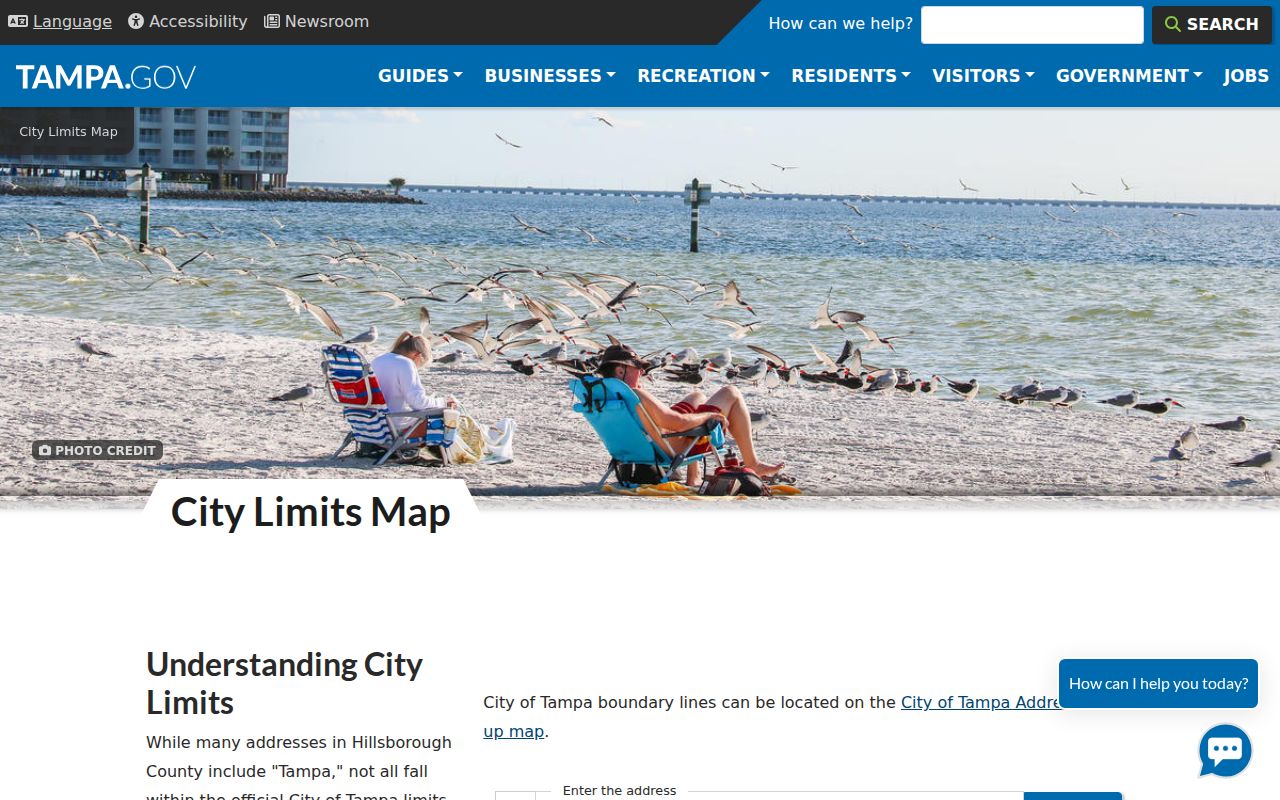
Pair that result with the HCPA parcel card and GIS. Postal city, parcel jurisdiction, and service custodian are three separate facts.
Hillsborough ZIPs in East County
Brandon's 33510 and 33511 codes describe a large east-central postal area, not an incorporated City of Brandon. Riverview uses 33569, 33578, and 33579. Valrico uses 33594, 33595, and 33596, while Seffner uses 33584 and Thonotosassa uses 33592. These names are useful for sorting parcel or voter data, but each record must keep its full situs address.
Plant City's 33563 through 33567 group mixes incorporated land with rural east county. The 33564 code has PO-box use, so it should not be assigned a neighborhood shape. Dover's 33527 and Lithia or FishHawk's 33547 add broad unincorporated coverage. For records work, filter first, then verify each parcel's jurisdiction.
A filtered row should retain both postal and land identifiers. Keep the preferred postal city and ZIP exactly as filed, then add the HCPA folio, situs address, subdivision or legal description, and parcel jurisdiction. That preserves an old filing even if the postal code later changes. It also prevents a Plant City postal label on rural land from being treated as proof that the City of Plant City holds the relevant local record.
SouthShore ZIP Code Directory
SouthShore postal geography includes Gibsonton 33534; Riverview's cluster; Ruskin 33570 and 33571; Apollo Beach 33572; Sun City Center 33573; and Wimauma 33598. The county inventory also notes special-use or PO-box patterns in this range. A place name alone cannot tell whether an address lies in a planned community, rural tract, or another service area.
Use the Planning Commission profile for area context, then move to HCPA for a parcel. ZIP profiles report population and economic aggregates, not names. They are valuable for understanding a district, but they do not identify residents.
ZIP-wide sources also carry different kinds of addresses. A parcel file may include a situs ZIP for the land and a mailing ZIP for the tax addressee. A voter file uses the public residence fields allowed after exemptions. Sunbiz may show a registered office or business mailing location. Do not merge those fields merely because they share a code. Save the field label, source date, and custodian beside every address.
Find Hillsborough Residents by ZIP
Interactive forms rarely offer one button for every person in a ZIP. The sound method is to obtain a lawful countywide data file that contains situs or residence ZIP, filter it locally, and then resolve each candidate to an address. HCPA's free public downloads include parcel, sales, roads, subdivision, easement, and historic layers. Standard voter files can also be filtered after download, subject to exemptions.
- Confirm the exact postal code with USPS. Keep any older ZIP found in an archived filing because it was valid at that filing date.
- Download current HCPA parcel data and filter the situs ZIP. Preserve folio and full situs address for each result.
- Open selected parcels in HCPA GIS to confirm county placement and adjacent geography.
- Use the Supervisor of Elections standard-file request for lawful voter research. Protected records and nonvoters will remain absent.
- Check each candidate against an independent source before treating a ZIP match as evidence about a person.
The captured HCPA GIS viewer shows the parcel layer used to confirm a filtered address.
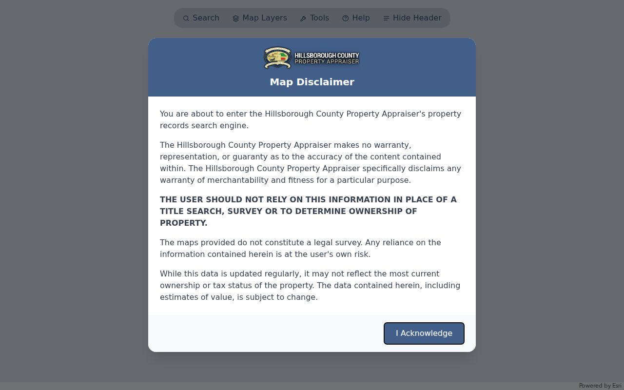
Parcel outlines supply land context, while the linked property card supplies the official folio and situs fields.
Once the ZIP is reduced to a named road, the Hillsborough County street directory owns the parcel-by-parcel method. ZIP-wide results are candidate sets, not proof that every record falls inside one city.
Hillsborough ZIP Search Channels
HCPA's quick form emphasizes folio, parcel number, owner, and address rather than a broad ZIP control. The downloadable parcel file is therefore the practical ZIP route. Sunbiz is the exception among the named portals because its official menu supports entity searches by ZIP and street address.
| Source | ZIP Method | Result Meaning |
|---|---|---|
| HCPA downloads | Filter situs or mailing ZIP locally | Parcel or owner tax association |
| Voter standard file | Filter public residence ZIP locally | Registered voter presence, subject to exemptions |
| Sunbiz | Enter ZIP or street in official search | Business filing or officer association |
| Planning Commission profiles | Select mapped ZIP profile | Aggregate demographic and economic context |
The Sunbiz search menu shows the ZIP and street modes used for entity affiliations.
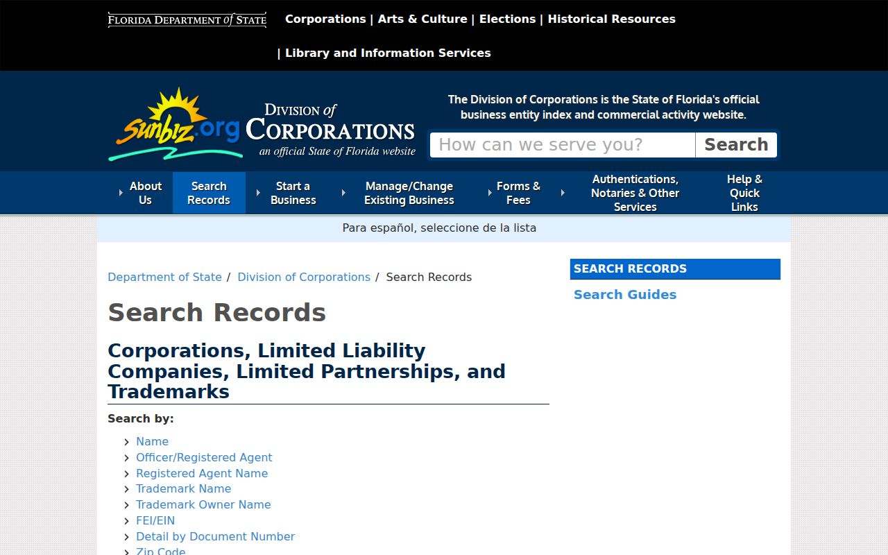
A Sunbiz address may be a registered office or business contact. It does not establish where an officer lives.
Use Hillsborough ZIP Data Downloads
HCPA's frequently refreshed files make a reproducible ZIP study possible without scraping the interactive map. Parcel and all-sales files can be paired with road, subdivision, easement, and historic layers. Record the download date and field layout so a later search can be repeated. Current public downloads are free; the research notes a separate $125 listing for a formal current assessment-data or certified-roll order.
Mailing ZIP and situs ZIP answer different questions. The first follows the tax addressee, who may live elsewhere. The second follows the land. Condominiums may stack many unit folios in one footprint, while apartments often appear as one parcel and owner. Neither structure yields a list of occupants.
The voter channel works differently. Hillsborough Elections publishes standard monthly reports for all eligible voters, all active voters, party groups, and prior-month new voters in text-delimited or Excel formats. A custom Standard Voter Data Request Form covers a narrower extract. Ask for the file date, field layout, and data dictionary, then preserve all statutory suppressions. The individual voter verifier should not be used in place of the published bulk route.
Historical ZIP work needs one more column. Archived deeds, annual reports, voter snapshots, and other dated files retain the postal code or address form valid when they were made. Keep that old value beside the current USPS result instead of overwriting it. A changed code can explain why one parcel appears in two candidate groups over time without showing that the land moved.
Data tip. Keep the full address, folio, file date, postal ZIP, and parcel jurisdiction together so later updates do not erase the original match.
Hillsborough's Special ZIP Identities
USF's 33620 and MacDill Air Force Base's 33621 signal institutional delivery contexts. The latter is a restricted federal installation. High-number Tampa codes from the 33670s through 33694 often serve boxes or unique organizations, and codes near 33608 or 33622 may also have special postal use. None should be mapped as a normal residential neighborhood without checking an exact address.
Odessa and Lutz postal areas approach or cross relationships with Pasco County. This is a practical myth to avoid: a county ZIP list does not promise that every part of every code lies wholly inside Hillsborough. Use USPS for delivery identity and GIS for the county line.
Hillsborough ZIP and City Limits
A ZIP code is a mail-delivery area. It is not a government boundary, voting district, neighborhood, or promise of county jurisdiction. Use the preferred postal city for the exact address, confirm the parcel in HCPA or GIS, and then select Tampa, Plant City, Temple Terrace, Hillsborough County, or another custodian. This three-way check is the core limit of any Hillsborough County ZIP code directory.
- ZIP vs ZIP+4
- A five-digit delivery area versus the more precise nine-digit code for a delivery segment.
- PO-box ZIP
- A code used mainly or only for post-office boxes, not a residential polygon.
- Unique ZIP
- A code assigned to one large institution or delivery customer.
- Carrier route
- A postal delivery path within a ZIP, which can cross common neighborhood ideas.